3D Ground Scan
High-resolution 3D surface-area charts help you visually analyze subsurface anomalies. Structural differences and target signatures are separated clearly.
NSD S3 is a modular subsurface scanning system designed to bring different sensor technologies together on one platform. By combining sensor compatibility and scanning modes in a single body, S3 enables flexible field use and controlled data acquisition.
Buy now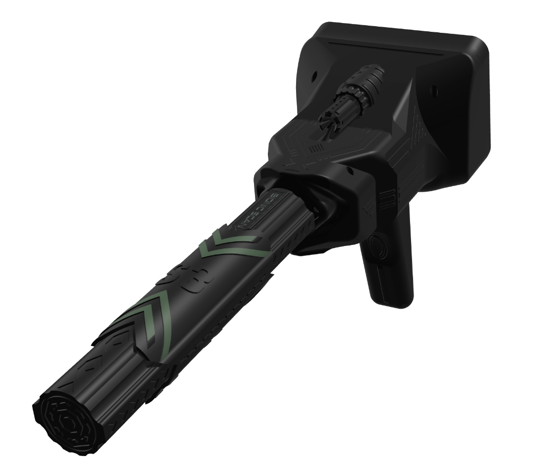
High-resolution 3D surface-area charts help you visually analyze subsurface anomalies. Structural differences and target signatures are separated clearly.
Adjustable measurement depth and sensitivity parameters produce controlled, repeatable results across soil types—ideal for wide-area scans.
Built for precise target localization. The LED-assisted pinpoint system marks the target quickly and controllably.
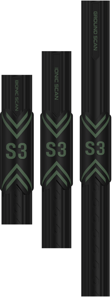
Scanning options tuned for different scenarios.

Enables stable, balanced measurements across large areas. Ground-structure changes can be tracked clearly.

A dedicated mode focused on specific target types, providing controlled, directed analysis.

Separates mineral and metal density via ionic contrast—strong for ionic variation analysis in soil.

Fast coverage for large surfaces—ideal for preliminary scans and regional assessment.

Shows measurement data in real time to support rapid on-site decisions.